


ABPmer's metocean service extends to Baltic Sea
The Baltic forecast combines meteorological data with high resolution wave models and is validated against local observations.
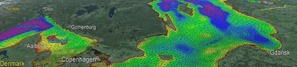
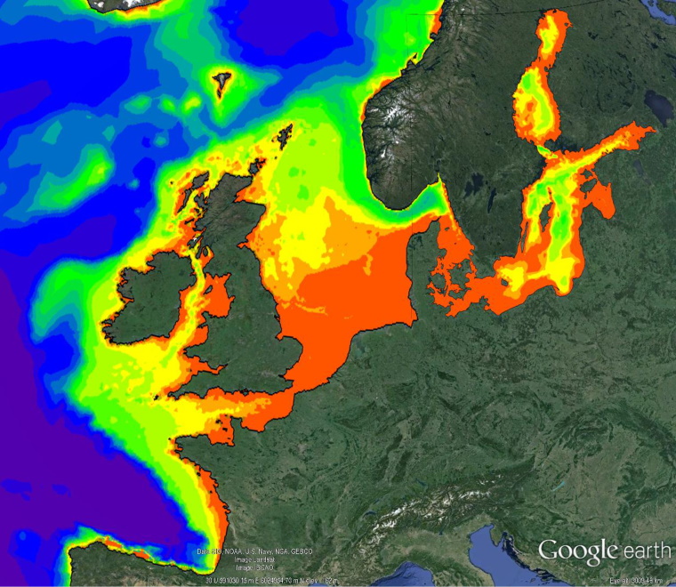
ABPmer, a recognised provider of metocean information to the offshore sector, has extended its SEASTATES service to include the Baltic Sea.
As with their SEASTATES service for other regions, the Baltic forecast combines meteorological data with high resolution wave models and is validated against local observations.
In the forecast, this means that the models are continuously "trained", improving the accuracy of the "raw" forecasts.
Jamie Hernon, Metocean Business Development Manager at ABPmer, said:
“SEASTATES is used by a range of sectors; we extended the service to include the Baltic due to our offshore wind clients’ increasing activity in the area.
“The forecast updates four times a day and extends to five days ahead for wind and wave conditions. The hindcast database holds verified hourly wind and wave conditions back to 1979 which can be used for construction and operational planning as well as informing engineering design.”
ABPmer’s metocean information is used to inform a variety of decisions; from designing offshore structures and breakwaters to planning safe operational weather windows and tactical strategies for elite yacht racing.
To explore the regional forecast for the UK, visit the ABPmer SEASTATES microsite.