


Understanding baseline conditions of Southampton Water
It is recognised that having high quality, up-to-date marine data for a port or harbour area is essential to ensure safety of navigation. We will shortly undertake current monitoring and water sampling campaign for ABP Southampton.
High quality, up-to-date marine data is essential for safe and efficient marine operations.
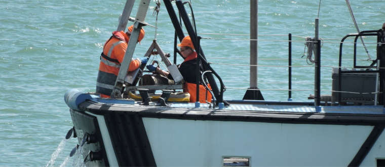
We are in the final stages of preparing a current monitoring and water sampling campaign for ABP Southampton. The survey is due to begin in September with a total observation period of 3 months. To collect data across the full extent of the port limits, we will be deploying seabed frames at four locations for a full spring-neap lunar tidal cycle. These frames will hold multiple oceanographic sensors, including:
- Nortek AWAC (Acoustic Wave and Current) system – set to observe the current velocity and direction throughout the water column. The same system will observe the surface wave height, period and direction.
- YSI EXO2 Multiparameter sondes observing the salinity and dissolved oxygen.
- RBR duo Tu sensor observing the turbidity. To calibrate these water quality parameters, we will conduct physical water sampling at three levels (near-surface, mid-depth and near-seabed) as well as salinity levels and suspended sediment content.
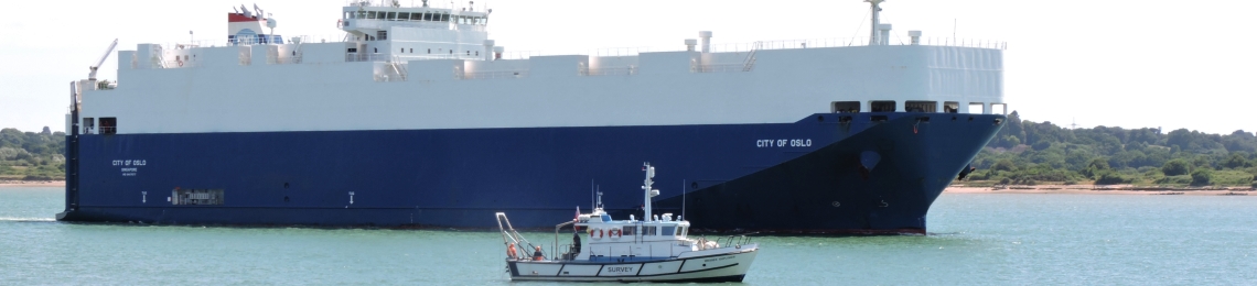
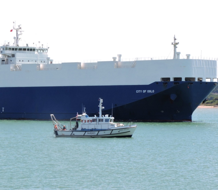
In addition to the seabed frame deployments, we will be undertaking mobile current monitoring with an RDI Workhorse downward-facing ADCP (Acoustic Doppler Current Profiler).Using a shallow drafted vessel to run transects from bank to bank across the main channel we will observe the spatial distribution of currents at four locations within the port limits. Understanding the current velocity throughout the water column allows for more detailed passage planning in the port approaches and berthing areas.
We will use the data to develop an up-to date environmental baseline of conditions in Southampton Water, inform passage planning in port approaches and berthing areas and calibrate in-house models.
Learn more about our oceanographic survey capability.