


Understanding waterbird movement patterns using GPS tags
Learn how GPS tagging supports waterbird monitoring research across Southampton Water.
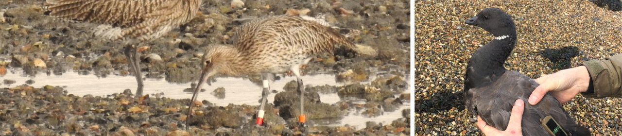
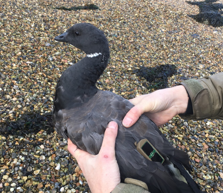
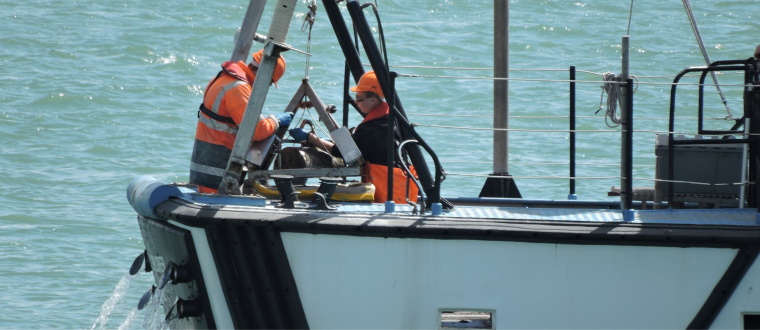
Last month, members of ABPmer’s Survey team worked with colleagues from the Game & Wildlife Conservation Trust and the Farlington Ringing Group to attach 15 GPS-GSM tags to Curlew and Brent Geese.
These satellite tags, which transmit data via the mobile phone network, record fine-scale movement patterns by recording locations every 60 minutes.
This study will provide information on a nationally red listed species (Curlew) within an estuarine environment that has never been studied previously. We plan to tag another 40 birds of a range of species over this winter to help understand movement patterns of multiple species.
This research is being undertaken as part of ABPmer’s waterbird monitoring of Southampton Water, where a range of surveying techniques have been employed, including nocturnal thermal imagery surveys, camera trap deployments and more traditional surveys, such as vantage point or through the tide counts.
Prepared by Nick Goldsmith, Marine Environmental Surveyor
To find out more about ABPmer’s ornithological monitoring and capabilities, contact Andrew Pearson, Lead Marine Ecologist, on +44 (0)23 8071 1854.